
A navigation app that understands bridge clearances, tides and waterway restrictions. Plan journeys and receive turn-by-turn directions based on your boat’s dimensions and current tidal conditions.

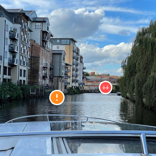

A navigation app that understands bridge clearances, tides and waterway restrictions. Plan journeys and receive turn-by-turn directions based on your boat’s dimensions and current tidal conditions.

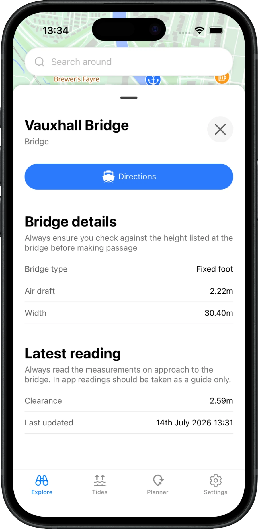
See bridge heights, hazards, tide times and speed limits directly on the map. Know what’s ahead before you get there.

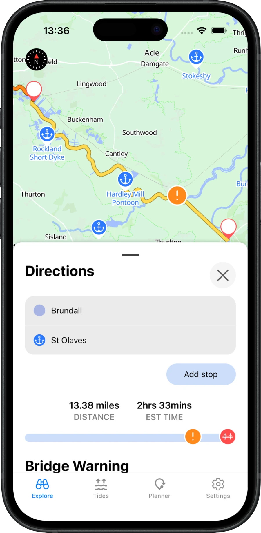
Check travel times, browse moorings and create routes. Get notified when it’s time to leave to stay on schedule and stay up to date on the latest advisories on your journey.
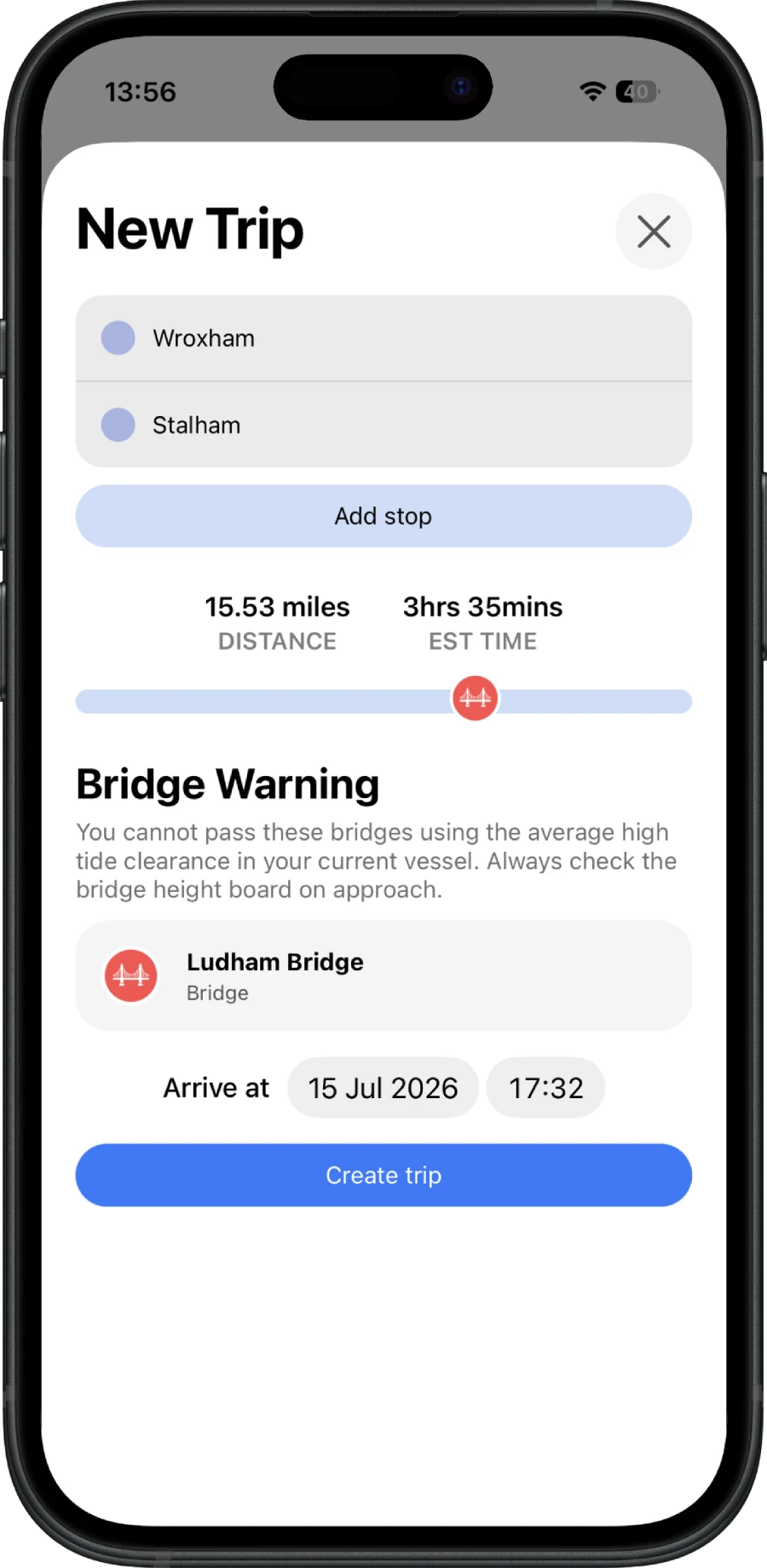

Automatically download maps, routes and tide tables ahead of time so you can continue navigating when coverage becomes unreliable.
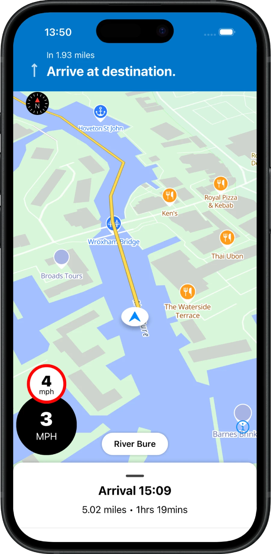
We’re building navigation for inland waterways. We’re working on expanding our network to cover all of the UK’s inland waterways.
Download today on iPhone and Android.